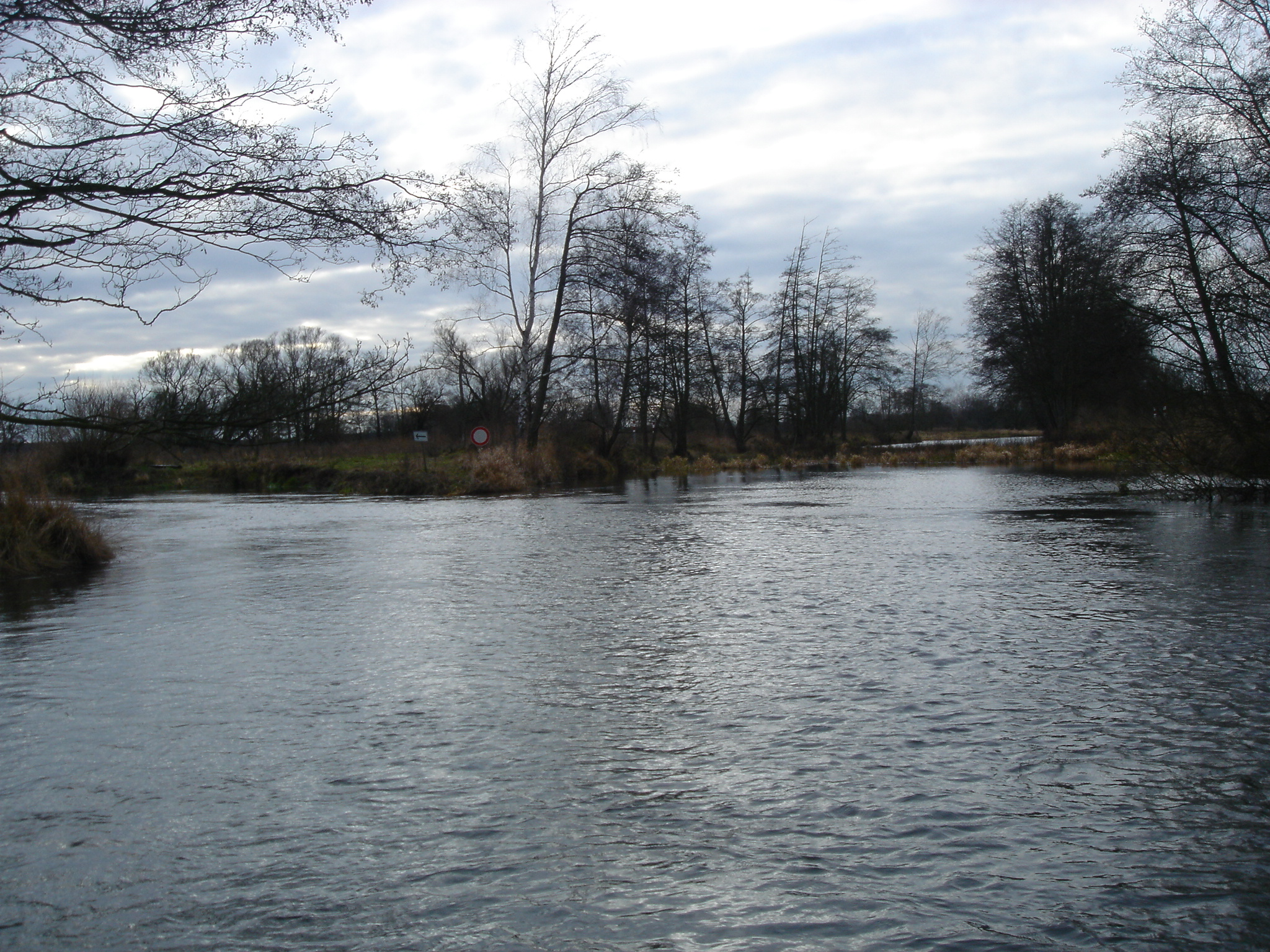
Several old oxbows have been dredged and reconnected on both sides of the main channel; at each site, the former main channel was blocked by a gravel dam to redirect all flow through the new meander; the remaining old main stem stretches serve as new flow protected habitats (new oxbows) and their depth and width variability slightly improved by alternating sand bars.
- Site name: Downstream Mönchwinkel
- Typology: Mid-sized lowland river
- Location: Start 52°22'56.13"N, 13°53'16.45"E, End 52°22'7.76"N, 13°48'9.02"E
- Altitude: 37 m
- Catchment area: 6,585 km² at the site; 10,105 km² at the mouth
- Pressures:
- Regulation by groynes (historic, >100 years)
- straightening, embankments
- water abstraction
- diffuse nutrient inputs
- weirs up- and downstream
- Measures:
- Re-meandering and blocking the former main stem
- Length of restoration: 5 km
